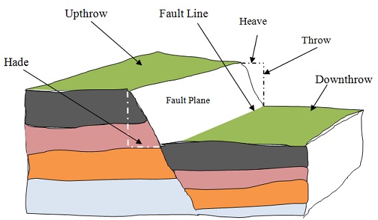
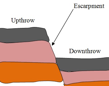
Fault Scarp/Escarpment
Below is a picture of the Riftvalley Escarpment in Kenya
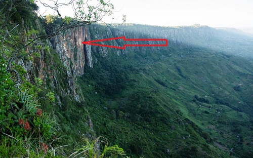
Steep line of slopes formed by vertical movement of earth along a fault e.g.
Mau, Nguruman, Nyandarua and Nandi.
- Are exposed parts of a fault plane.
- It may be formed due to normal faulting or reverse faulting when overhanging
blocks are eroded.
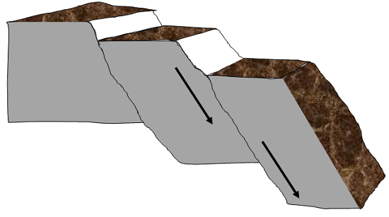
Fault Steps
- Land resembling the staircase or steps of a house with a series of fault scarps at
different levels.
- Parallel vertical faults develop.
- Land between the faults is unequally displaced downwards.
- A series of fault scarps at different levels is formed.
E.g. Keiyo escarpment and at Kijabe.
Fault Blocks/Block/Horst Mountains
Blocks of land raised above the surrounding land
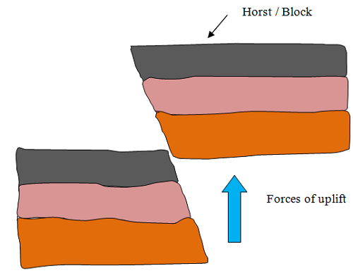
- Where tectonic forces cause faulting and land on one side of the fault get
raised or sink along the fault planes.
- Examples of fault blocks are Aberdare/Nyandarua ranges, Mau escarpment and
Nandi Hills.
- Where Blocks of land bordered by normal faults which are almost
parallel to each other sink leaving the middle block standing.
Examples of horsts are Ruwenzori of W. Uganda and Usambara and Pare
mountains of Tanzania.
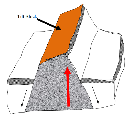
Tilt Blocks
- Fault blocks which are inclined on one side.
- Occurs when the fault block, horst or fault steps have greater uplift on
one side and as a result they are not flat at the top but tilted. The resultant
features are tilted fault blocks, tilted horst and tilt fault steps which form
ridges and fault guided valleys.
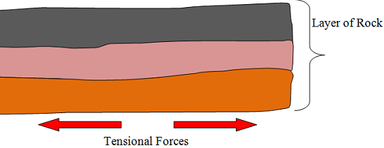
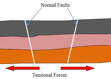
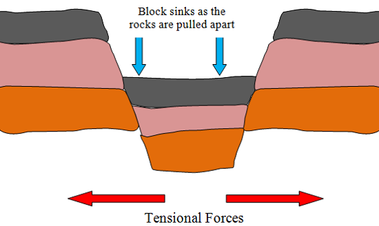
Rift Valley
- Along narrow trough with steep escarpments on both sides.